Why Is LIDAR Mapping Surging After Storms?
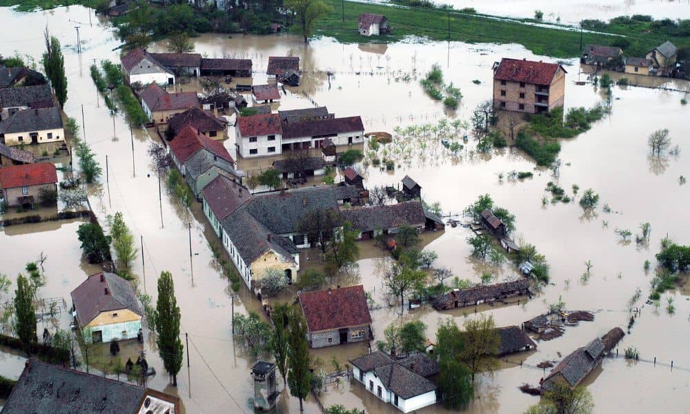
When storms hit San Diego this season, many homeowners saw the flooding, broken roads, and sinkholes all over social media. It looked shocking, but surveyors expected it. Heavy rain exposes weak ground, hidden erosion, and unstable soil. That is why LIDAR mapping has suddenly become more popular across San Diego. People want to understand what […]