Why Boundary Line Surveys Are Suddenly in the Spotlight Now
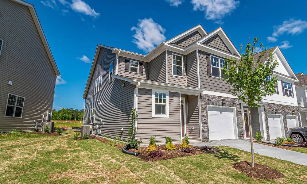
If you follow local news or neighborhood forums in San Diego, you may have noticed a pattern. More stories now involve property lines, permit disputes, and stalled projects. While the details change, the root problem often stays the same. People assumed they knew where their land ended, but the city, a lender, or a planner […]
How a Construction Staking Survey Stops Costly Re-Work
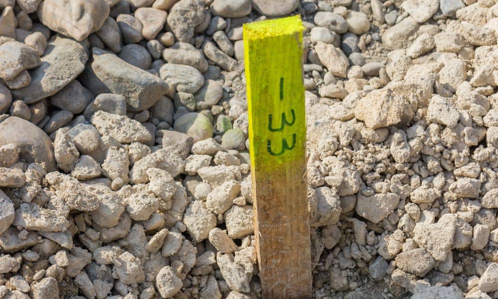
Construction mistakes rarely start with bad intentions. Most begin with small layout assumptions that snowball into expensive re-work once construction is already underway. In San Diego, where inspections are strict and build sites are often tight, those mistakes move fast and cost even faster. That is exactly why a construction staking survey plays such a […]
Why FEMA Declarations Drive FEMA Elevation Certificate
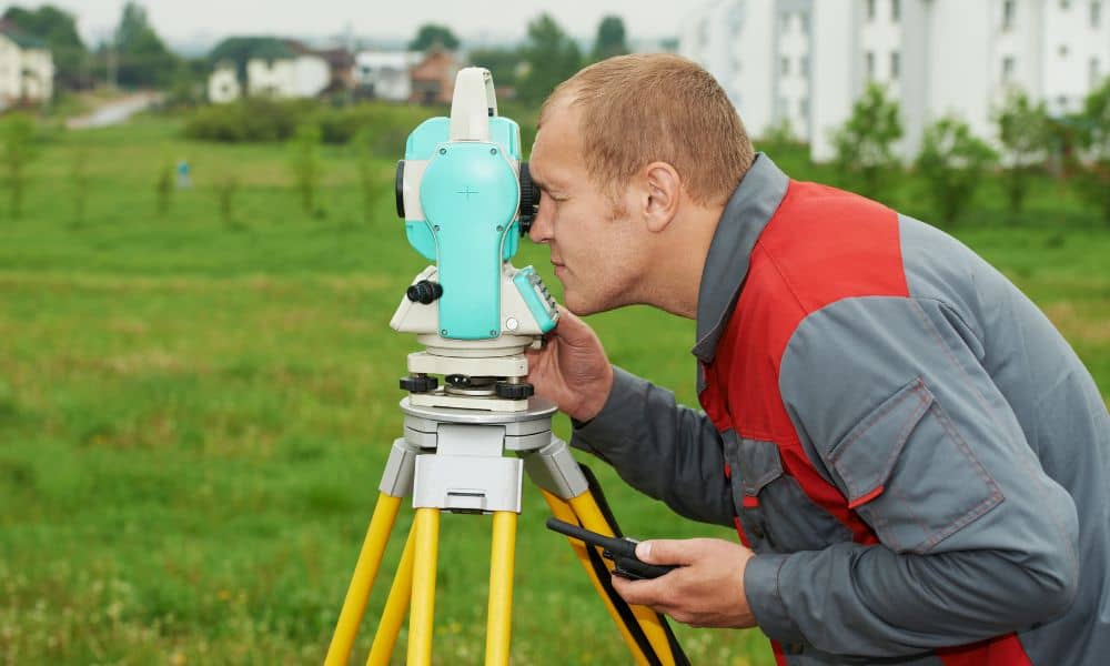
When FEMA announces a disaster declaration, most people think about emergency help and cleanup. However, for property owners, the effects often go much further. A recent FEMA disaster declaration has quietly changed how flood risk is reviewed across the area. Because of this, more homeowners, buyers, and lenders now ask for a FEMA Elevation Certificate, […]