Ground Sinking Risks: Why a Flood Elevation Survey Is Urgent
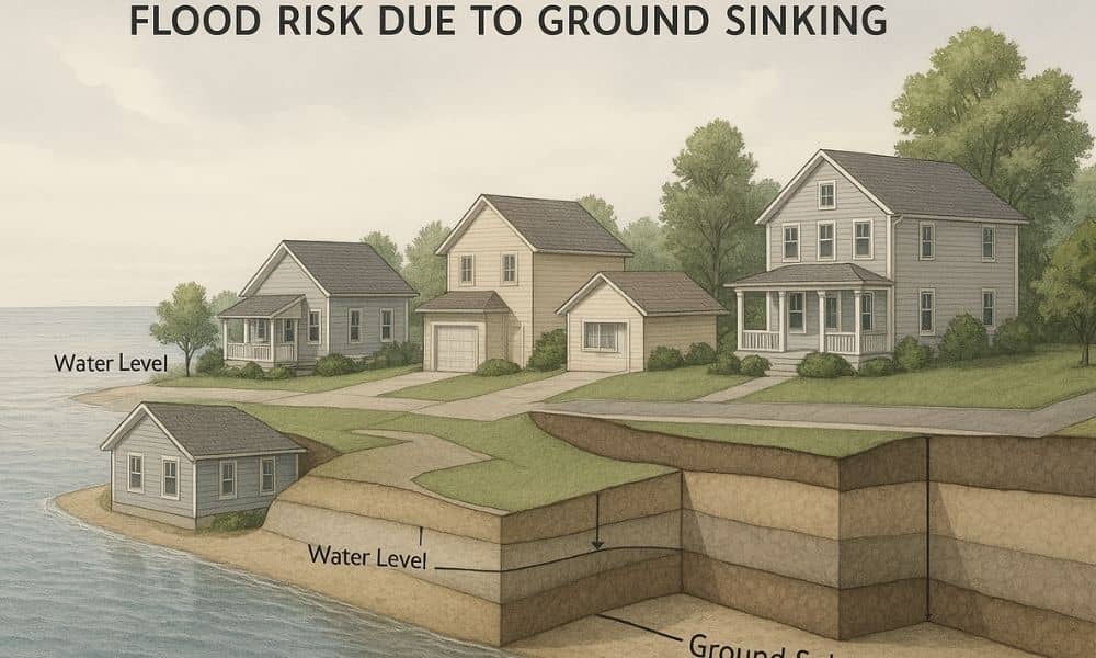
If you live or own property, you may have seen recent news about parts of the region slowly sinking. The changes are small, often measured in millimeters, yet they matter more than most people realize. When the ground shifts, flood risk can change too. That’s why a flood elevation survey is becoming more important right […]
Construction Staking Survey: Avoid Costly Grade Errors
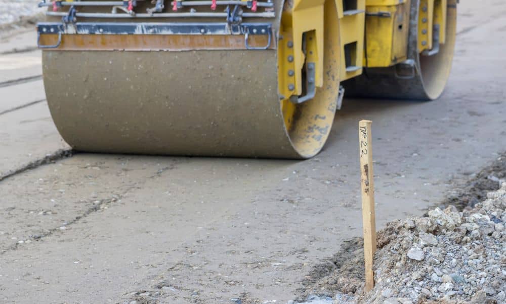
Building on a sloped lot looks great on paper. In real life, however, slopes turn small mistakes into expensive problems fast. That’s where a construction staking survey becomes essential. Within the first days on site, this survey sets the exact locations and elevations that guide every step of construction. When it’s done right, it protects […]
Why Zoning Changes Increase Demand for ALTA Title Surveys
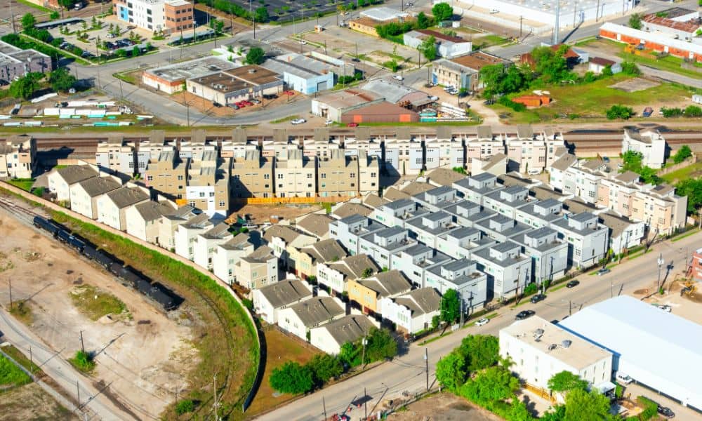
San Diego is changing fast. New housing rules, tighter zoning reviews, and louder public input now shape how land gets approved. As a result, ALTA title surveys are showing up earlier and more often in real estate deals. Buyers, lenders, and developers want clarity before projects face delays. And right now, clarity matters more than […]