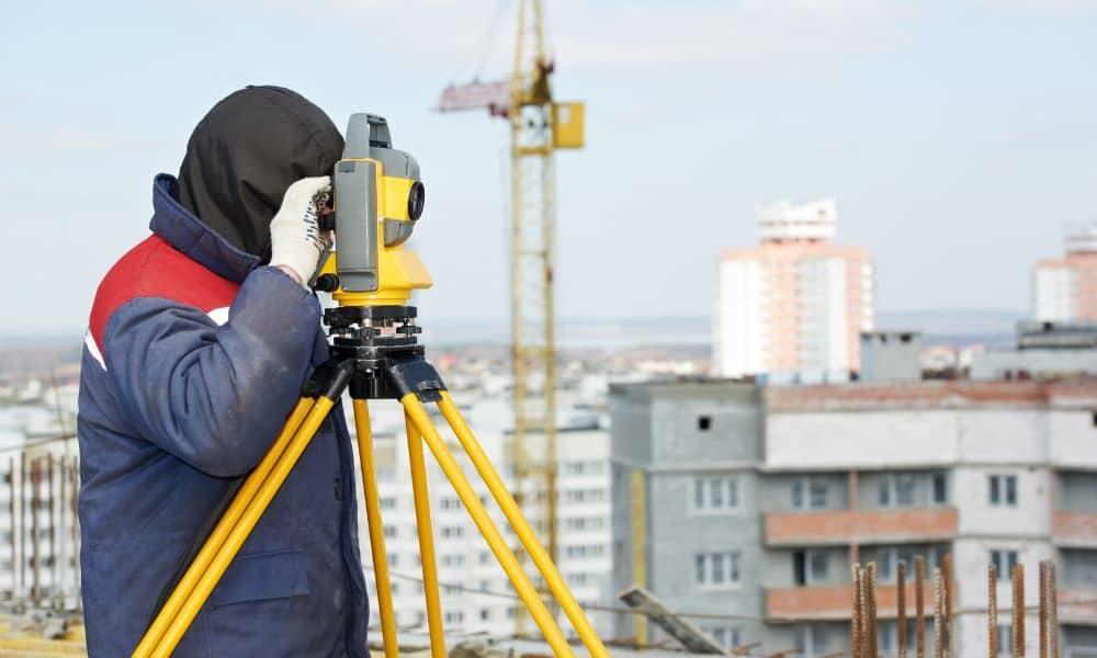
How New Rules Will Change Drone Survey Work Forever

San Diego is growing fast, and many projects now depend on drone survey work to stay accurate and on schedule. Builders use drones for early site planning, grading checks, and tracking progress as work moves forward. At the same time, California is making a change that could shape the future of this work. The California […]
Could New Staff Make Your Property Survey Much Faster?
A lot of homeowners and buyers don’t follow land-use news. But a simple update inside a city office can change how fast you get permits, how long a remodel takes, and even how accurate your next property survey will be. Recently, the City of Vista, which sits inside San Diego County, opened a new position […]
Why Is LIDAR Mapping Surging After Storms?
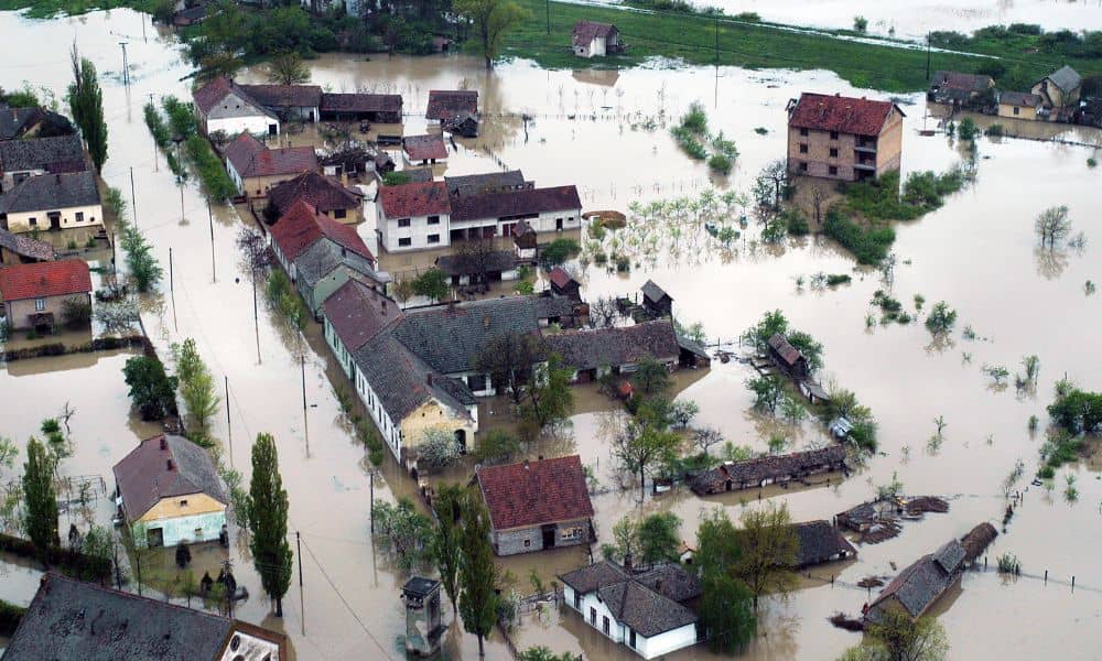
When storms hit San Diego this season, many homeowners saw the flooding, broken roads, and sinkholes all over social media. It looked shocking, but surveyors expected it. Heavy rain exposes weak ground, hidden erosion, and unstable soil. That is why LIDAR mapping has suddenly become more popular across San Diego. People want to understand what […]