A FEMA Elevation Certificate might sound like boring paperwork, but for homeowners, it’s actually a pretty big deal. If you’re buying a house, renewing flood insurance, or planning a remodel, this certificate can affect how much you pay and how safe your property is. And here in San Diego, where some neighborhoods hug the coast while others sit in canyons or valleys, knowing how this document works can save you stress and money.
What Is a FEMA Elevation Certificate?
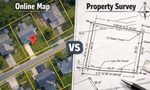
Think of the FEMA Elevation Certificate as your home’s “report card” for flood risk. It shows how high your house sits compared to the area’s base flood elevation.
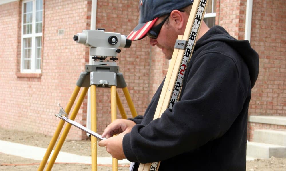
A licensed professional measures your property and fills out the official FEMA form. The document then tells lenders, insurance companies, or the city whether your home meets floodplain standards.
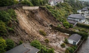
In San Diego, this matters in places like Mission Beach, Coronado, or Imperial Beach, where water is close by. If your house sits higher than FEMA’s flood line, you might save money. If it’s lower, insurance could be more expensive.
Why Do Homeowners Need It?
Most people run into the FEMA Elevation Certificate when an insurance agent asks for it. Insurance companies use the data to figure out how risky your property is and what your premium should be.
But it doesn’t stop there. Lenders often need the certificate before approving a mortgage, and the city may require it if you’re building or adding to your home. Basically, it proves your property is safe enough to meet local and federal rules.
Here in San Diego, where one street might have homes on a hill and others sitting lower, the difference in elevation can change insurance costs a lot.
When Will You Need One?
Not everyone will need a FEMA Elevation Certificate, but certain situations make it a must:
- Buying or selling a house in a flood zone. Buyers want it, and lenders require it.
- Getting or renewing flood insurance. Insurance companies ask for it to set rates.
- Building a new home or doing major upgrades. Permits in flood-prone spots usually depend on it.
If your home is near the coast, a canyon, or a creek, it’s smart to check early. Many homeowners also order flood zone survey services before renewing insurance or starting a real estate deal, since having the right information up front prevents last-minute surprises.
How Do You Get a FEMA Elevation Certificate?
Start by checking with your city or county. San Diego’s Development Services Department or the County Floodplain Management Division might already have one on file for your address. If they do, you’re set.
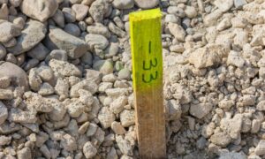
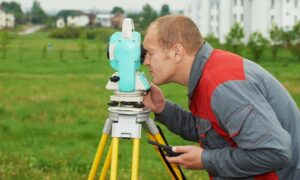
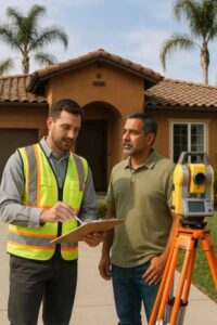
If not, you’ll need to hire a licensed surveyor, engineer, or architect. They’ll come out, measure your home’s elevation, and complete the FEMA form. In most cases, you’ll have the certificate in a few days. It often helps to use a professional land surveying company since they handle these forms regularly and know how to avoid mistakes that could slow things down. During busy times — like when FEMA updates flood maps — the process might still take a little longer.
How Much Does It Cost?
Most homeowners pay between $400 and $800 for a FEMA Elevation Certificate. The cost depends on the size of your lot, how tricky the property is to measure, and whether records already exist.
Tip: Always ask the city or county first before hiring someone. If a certificate already exists, you might save a few hundred dollars.
Common Mistakes Homeowners Make
Here are the three mistakes that cause the most headaches:
- Paying for something you already have. Always check local records first.
- Waiting too long. Escrow, permits, and insurance deadlines move fast. Don’t let this document hold things up.
- Hiring the wrong person. Only licensed professionals can prepare the certificate. Using anyone else is a waste of time and money.
How It Affects Your Flood Insurance
This is where the FEMA Elevation Certificate really matters. The National Flood Insurance Program (NFIP) uses it to figure out your risk.
Here’s an example: Two homes sit on the same block in Pacific Beach. One is on slightly higher ground, while the other is closer to the flood line. Without the certificate, both owners might get high insurance quotes. With it, the higher home can prove it’s safer and get a lower premium.
Sometimes, a certificate even helps a property get removed from a flood zone altogether. That can mean big savings year after year.
Key Takeaways for Homeowners
- The FEMA Elevation Certificate shows how your home compares to local flood levels.
- Insurance, loans, and building permits often depend on it.
- Homeowners near water or low-lying land should expect to need one.
- Always check city or county records before paying.
- Hire licensed professionals so the work is done right.
Wrapping It Up
At the end of the day, the FEMA Elevation Certificate isn’t just a form. It’s proof that your home is safe and that your investment is protected.
In San Diego, where neighborhoods shift from beaches to hills within a few miles, this certificate can make a huge difference in what you pay for insurance and how smoothly your projects move forward.
So if you’re buying, building, or renewing flood insurance, don’t leave it to the last second. Get the certificate, know where your home stands, and move ahead with confidence.