If you live in San Diego, you might not realize that the ground beneath your feet is slowly sinking. This problem, called land subsidence, is happening faster here than in most other California cities. It’s caused mainly by pumping out too much groundwater for drinking and farming. While the sinking is slow—about one millimeter per year—it can cause serious damage to roads, buildings, and pipes. The good news is that land surveying helps us understand and manage this problem before it gets worse.
What Is Land Subsidence and Why Is It Important?
Land subsidence means the ground is sinking or settling lower over time. You can think of it like a sponge that gets pressed down and doesn’t bounce back. In San Diego, this happens because we pump a lot of water out of the ground to use for drinking and farming. When too much water is taken, the soil and rocks below can compress and cause the land to sink.
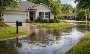
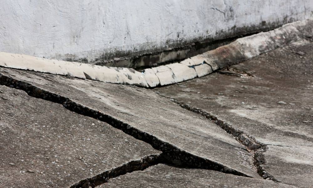
Scientists recently found that San Diego is sinking at about one millimeter each year—the fastest rate among big California cities. Even though that sounds small, over several years it adds up. This sinking can cause cracks in roads and buildings, damage water pipes, and even increase flooding risks during heavy rains. If you own property or plan to build here, you should care about land subsidence because it can lead to expensive repairs or safety problems.
How Land Surveying Helps Track the Sinking Land
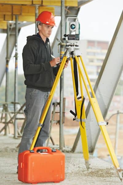
This is where land surveying becomes really important. Land surveyors measure the land’s surface to see how much and where it is sinking. They use tools like GPS, drones, and special equipment to take precise measurements of the land’s elevation. By checking these measurements over time, they can spot even small changes.
Land surveying isn’t just about marking property lines. It also helps scientists, city planners, and engineers understand which areas are sinking the most. This information allows them to plan better and make sure buildings and roads stay safe.
Today, new technology like drones and aerial surveys makes it easier and faster to collect data over large areas. These tools give a clear picture of what’s happening beneath our feet, helping to catch problems early before they get worse.
Using Survey Data to Protect Roads and Buildings
Have you ever driven on a bumpy road or noticed cracks in sidewalks? These problems can happen when the land under them moves or sinks. Land surveyors give engineers important information to design roads, bridges, and pipelines that can handle land shifting or to fix damage early.
City officials also use land surveying data to update building rules and zoning laws. For example, if an area is sinking faster, new homes might need special foundations or drainage systems to protect them. Surveyors also help with flood control projects by showing where water is most likely to collect or cause damage.
Because of this, land surveying plays a big part in keeping San Diego’s infrastructure safe and reliable.
What Property Owners Should Know About Land Subsidence
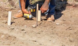
If you own a home or business, it’s smart to know about land subsidence. A sinking foundation can cause serious damage and lower your property’s value. Hiring a licensed land surveyor to check your land can help you spot early signs of sinking.
Surveyors can document if your land is moving, which is useful if you want to sell or buy property. Many lenders and insurance companies require surveys to make sure the land is safe. Knowing about subsidence risks also helps you plan repairs before they become expensive problems.
Getting a professional survey can give you peace of mind and protect your investment.
How New Technology Is Changing Land Surveying
Technology is changing how land surveyors work. Instead of just using traditional tools, many surveyors now use drones or unmanned aerial vehicles (UAVs). These flying devices carry cameras and sensors that capture detailed images and measurements from the sky.
Drones can cover large areas quickly and safely, making it easier to monitor land subsidence across the city. They provide accurate elevation data, which helps surveyors create precise maps of sinking areas.
With these new tools, land surveyors can give city planners and engineers up-to-date information faster than ever before. This means the city can respond more quickly to problems caused by sinking land.
What’s Next for San Diego and Land Surveying?
San Diego’s sinking problem isn’t going away anytime soon. As the city grows and groundwater use continues, land subsidence may get worse. Because of this, land surveyors will be more important than ever. They will help monitor the ground, support safe building designs, and protect homes and businesses.
For people living in San Diego, the best thing is to stay informed and work with professional land surveyors when needed. Whether you are buying land, planning a construction project, or worried about your property, surveying can help you avoid surprises and costly repairs.
Final Thoughts
San Diego is facing a big challenge with its sinking ground, but there is hope. Land surveying gives us the tools and knowledge to track the problem and protect our city. By measuring the land carefully and sharing data with engineers and planners, surveyors help keep roads, buildings, and neighborhoods safe.
If you own property or plan to build, think about hiring a licensed land surveyor. They understand the risks and can guide you on how to protect your investment from the effects of land subsidence.
Even though the ground beneath us is moving, land surveying keeps us grounded in safety and smart decisions.