Drones aren’t just for hobbyists anymore. In land development, they’ve become one of the most practical tools for saving time, cutting costs, and avoiding setbacks. From large master-planned communities to single-lot builds, this technology is helping developers everywhere move faster. Across places like San Diego, with its hills, valleys, and coastal land, drones are proving especially valuable for keeping projects on track.
Why Developers Face Delays
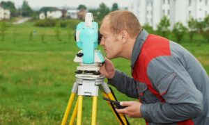
Ask any developer what slows down a project, and they’ll mention delays. Surveys take weeks, permits drag on, and unexpected site issues often pop up.
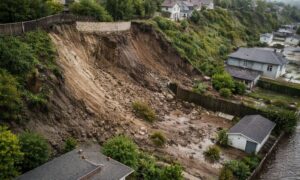
These challenges get tougher in regions such as San Diego, where steep slopes, clay-heavy soil, and strict environmental rules add extra steps. Traditional methods are accurate, but they’re slow. Crews may need several days to cover large areas.
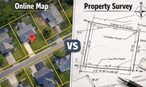
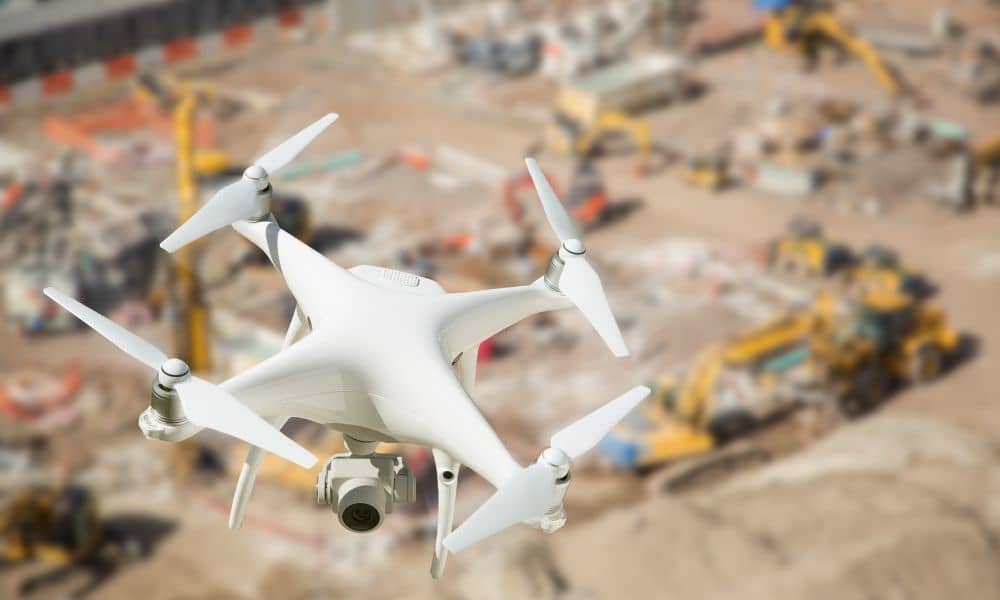
Surveying with aerial tools speeds things up. A single flight can map acres in under an hour, capturing the same details that once took days. With faster information, developers don’t have to wait, so projects move forward sooner.
How Drone Mapping Helps With Approvals
Before construction begins, permits must be approved. That means providing clear maps, grading plans, and proof that the site is safe for building. This step often slows things down—especially in San Diego County areas like Jamul, Ramona, or Valley Center, where terrain and environmental reviews take extra time.
Using drone mapping makes the process easier. High-quality images and 3D site models give agencies the details they need upfront. Developers can submit stronger applications, which means fewer questions and faster approvals. As a result, projects avoid unnecessary delays, and in offices where permits already take months, this time saved is a big win.
Tracking Progress With Aerial Surveys
Getting approvals is only the first hurdle. Once construction starts, developers need to know how work is progressing. Aerial surveys make this simple.
Regular flights give a bird’s-eye view of the site. You can see what’s been graded, where crews are working, and whether schedules are being met. Across San Diego, from big subdivisions in Chula Vista to hillside sites in Escondido, aerial mapping helps spot issues early. Because of this, developers can fix small problems before they grow into major delays.
Compliance Made Easier
Compliance may not be the most exciting part of development, but it’s one of the most important. Cities require proof that grading plans, drainage rules, and erosion controls are being followed. Missing reports or late documentation can shut down a project.
Survey technology makes compliance easier to show. Aerial photos and elevation models document exactly how land is being shaped. If San Diego County inspectors ask for proof of erosion control after heavy rain, drone data can be shared right away. This prevents shutdowns, reduces wasted time, and keeps construction on track.
Better Communication With Stakeholders
Developers also need to keep investors, buyers, and partners in the loop. Reports and spreadsheets only tell part of the story. Visual data makes updates much clearer.
High-resolution images and 3D maps let stakeholders see progress without stepping foot on the site. With aerial mapping from drones, those visuals are detailed enough to share in reports, presentations, or even marketing updates. In competitive markets like San Diego, showing a live snapshot of a project in North County or downtown builds trust and confidence. Investors appreciate transparency, and buyers feel reassured that work is moving forward.
Saving Money With Drone Surveys
Saving time is great, but saving money is even better. UAV surveys help developers do both.
- Smaller crews: Flights usually require just one or two people.
- Fewer site visits: Teams don’t need to visit as often.
- Catch mistakes early: Fixing problems right away reduces costly rework.
In San Diego, where land and labor costs are already high, even small savings add up. This technology helps projects stay profitable by reducing waste and keeping schedules on track.
Beyond the Basics
Drones already offer big benefits, but their future role in development looks even stronger.
- AI integration: Soon, UAVs won’t just gather data—they’ll analyze it and highlight risks before they become issues.
- BIM connection: Flights will link directly with Building Information Modeling (BIM), updating digital plans in real time.
- Smart city planning: As cities like San Diego expand, drone mapping will guide better road design, drainage systems, and neighborhood planning.
Developers who adopt this technology now will be ready for these advances and stay ahead of the competition.
Why Aerial Surveys Are Especially Useful in San Diego
This survey technology is valuable everywhere, but San Diego shows just how powerful it can be. The region’s mix of coastal flats, inland valleys, and steep slopes creates unique challenges. Strict environmental rules add more steps to the process.
Developers often rely on local drone survey professionals who understand both the terrain and the permit process. Their work helps projects move faster by providing quick data, spotting issues early, and smoothing out approvals. In a region where delays cost money, these tools keep things moving forward.
Key Takeaways for Developers
- Save time: Faster surveys and approvals mean quicker project starts.
- Reduce risk: Spot problems early and avoid compliance delays.
- Improve trust: Provide investors and partners with clear progress updates.
- San Diego proves the value: With its tough terrain and strict rules, the region highlights how effective drone mapping can be.
Final Thoughts
Every developer works against the clock. Delays don’t just slow down a project—they drain money and add stress. Aerial survey tools give developers a way to stay ahead by delivering quick data, better compliance, and clearer communication.
In San Diego and beyond, drone mapping is becoming more than just a helpful tool. It’s turning into a necessity. Developers who use it today are building not only faster but also smarter. The future of land development is already here—and it’s flying overhead.