Avoid Costly ADU Mistakes With Land Surveying

Building an ADU in San Diego feels simple at first. You add a small home in your backyard. Maybe you plan to rent it out or give your family more space. It all seems pretty straightforward. Then plans change. You might decide to sell the ADU later. Or split the property. Or turn it into […]
Why a Boundary Survey Matters More on Smaller Lots
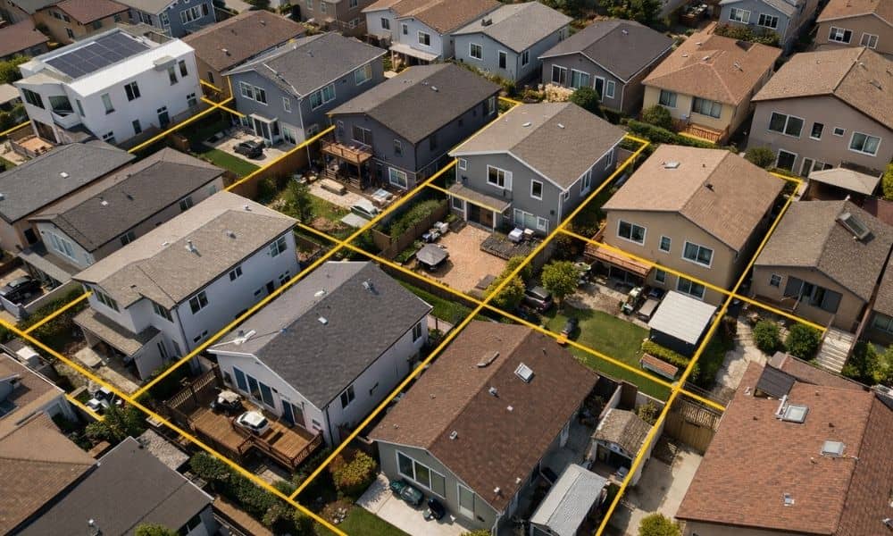
San Diego is moving toward smaller lots, duplexes, and townhome-style housing. That shift may look like a planning or zoning story, but in practice, it creates a very real boundary issue on the ground. A boundary survey is no longer a step that can be delayed or skipped. It is becoming a starting point for […]
Why Land Mapping Drones Face More Scrutiny
Land mapping drones are changing how survey teams capture site data. They can cover large areas faster, produce detailed visuals, and help teams make earlier decisions during planning. In San Diego, that speed matters, but so does compliance. Commercial drone operators must follow FAA Part 107 rules, and flights in controlled airspace require prior authorization […]