Why the Shortage of Licensed Land Surveyors Delays Projects
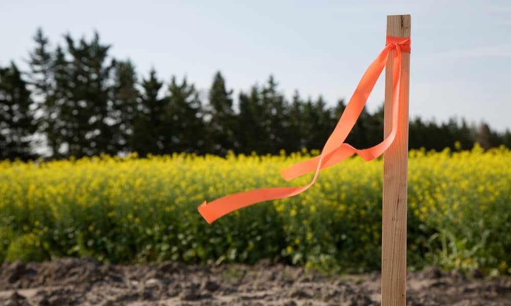
San Diego keeps growing. New homes, mixed-use buildings, and redevelopment projects continue to appear across the city. Yet many of these projects slow down before construction even starts. The reason often surprises property owners and developers. The problem is a growing shortage of licensed land surveyors. This issue does not always make the news. Still, […]
Why UAV Survey Workflows Are Changing for Compliance
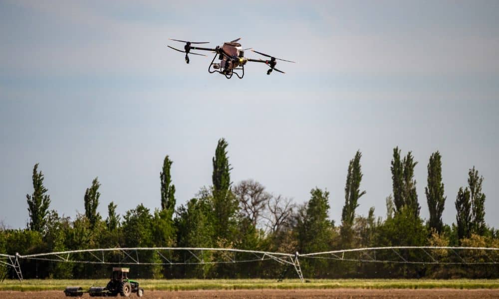
A UAV Survey used to be simple. A surveyor planned the flight, collected the data, processed the files, and delivered the results. For years, that workflow worked well. However, things have changed. New drone rules, supply concerns, and airspace limits are now forcing surveyors to rethink how they work. As a result, many firms are […]
CEQA Reform Is Changing How LiDAR Mapping Supports Permits

Across California, many property owners share the same problem: projects that should move forward end up stuck in review. CEQA was created to protect the environment, but over time it has also slowed down permits because decisions rely on old maps, missing records, or unclear site data. Recent CEQA reforms aim to fix that. In […]