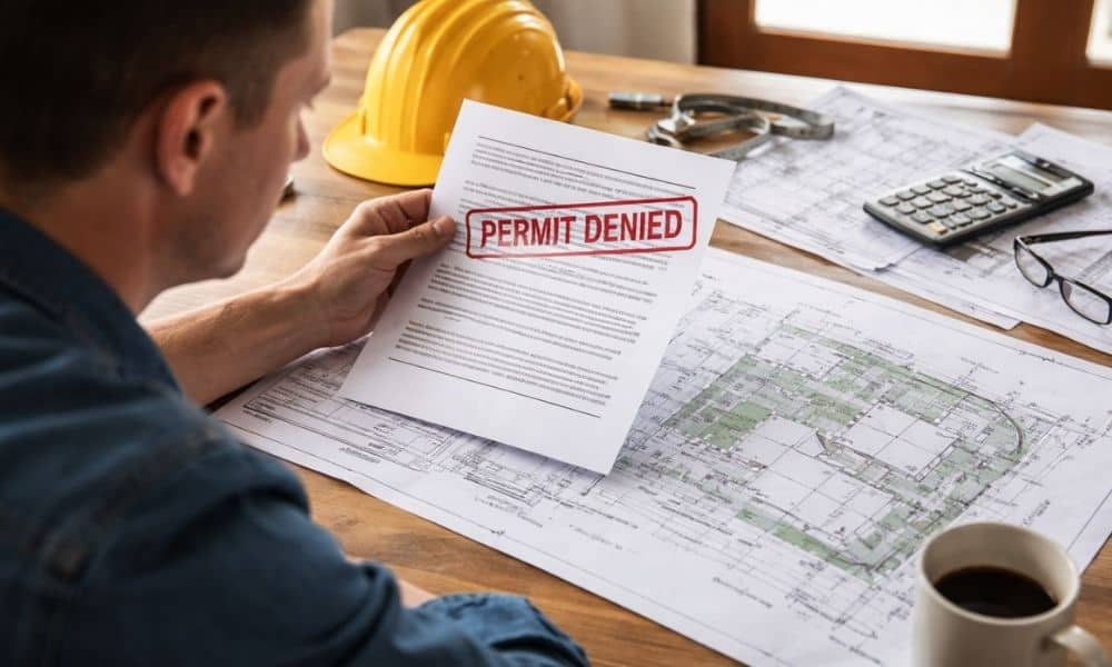
You submit your plans. You pay the application fee. You wait. Then the email comes in. “Permit denied — no official plat.” At first, that phrase sounds confusing. You own the land. You pay taxes. You have a deed. So what’s missing? Many homeowners across San Diego have shared this same frustration online. They plan an ADU, a garage, a fence, or even a septic system. Then the city stops the project because it cannot verify the lot. That is where a property survey becomes the turning point.
What “No Official Plat” Really Means
First, don’t panic. This message does not mean your land is illegal. It usually means the city cannot find a clear, recorded map of your lot. In many cases, those recorded subdivision maps are stored at the county level, and if none exist for your parcel, the city has nothing official to rely on.
In other words, your property may not sit inside a modern, mapped subdivision. Instead, it may rely on an older legal description written in words. Some descriptions refer to trees, rocks, or fence lines that no longer exist. Others describe boundaries using distances and angles from decades ago.
Because of that, the permitting office cannot confirm your exact lot shape or size with confidence. And when a project depends on setbacks, easements, and buildable space, guesswork simply won’t work.
Why This Happens So Often in San Diego
San Diego County has a long history. Many areas started as large rural parcels. Over time, owners divided those parcels informally. Some splits happened before current platting rules existed.
As a result, certain lots never received a clean, recorded subdivision map.
At the same time, development has increased. ADUs, garage conversions, backyard units, and small additions have become common. These projects push right up against setback limits. Therefore, the city needs exact boundary proof.
When your plans show a wall three feet from the property line, the city must confirm that measurement. If they cannot verify your lot boundaries on record, they pause the permit.
That pause often leads to the “no official plat” notice.
Why a Deed or Tax Record Isn’t Enough
You might think, “But I have a deed. Isn’t that proof?”
A deed proves ownership. However, it does not confirm the physical location of your boundary on the ground today.
Tax records serve another purpose. They track property value for assessment. They do not establish legal boundary lines.
Because of that difference, the permitting office cannot rely on those documents alone. They need something that ties the legal description to real measurements in the field.
That is exactly what a property survey provides.
How a Property Survey Solves the Problem

A property survey does more than draw lines on paper. It connects history, math, and field work into one clear document. That’s why working with a team that provides professional property survey services makes such a difference when a permit hits a roadblock.
First, the surveyor researches your property’s background. They review recorded maps, adjoining parcels, and old legal descriptions. They check for easements and past boundary changes.
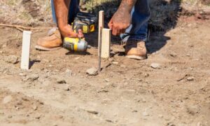
Next, they visit the site. They locate monuments, measure distances, and confirm angles. They compare what the documents say with what exists on the ground.
Then, they prepare a sealed survey map. This map shows:
- Boundary lines
- Lot dimensions
- Easements
- Structures
- Encroachments, if any
Because the survey carries a licensed seal, the city can rely on it. It removes uncertainty.
Instead of guessing where your boundary sits, the permitting office sees verified data.
Real Situations Where This Makes a Difference
Many homeowners only discover the need for a property survey after a denial. However, the pattern often looks the same.
Someone plans an ADU. The structure sits close to a side-yard setback. The city asks for boundary confirmation. No recorded plat appears. The permit stops.
Or, a homeowner replaces a fence. A neighbor raises a concern. The city asks for proof of the property line before approving further work.
In rural parts of the county, septic systems often trigger the issue. The health department needs confirmed lot size and separation distances. Without boundary verification, they cannot approve the layout.
In each case, the missing piece isn’t designed. It’s documentation.
Why Delaying the Survey Costs More
At first, some people hesitate. They hope the issue will resolve with more paperwork. However, delay creates bigger problems.
Contractors wait. Architects revise plans. Permit clocks reset. Meanwhile, financing deadlines approach.
Worse, redesign may become necessary. If the survey reveals a smaller buildable area than expected, your project may need changes. Early verification prevents that surprise.
Therefore, ordering a property survey sooner often saves money and stress.
When You Should Consider a Property Survey Before Applying
While every property differs, certain signs increase the risk of a plat issue.
For example, older neighborhoods often rely on metes-and-bounds descriptions. Large lots divided decades ago may lack recorded subdivision maps. Semi-rural areas in East County also face this challenge.
Additionally, projects built close to setback limits need strong boundary proof. If your planned wall or structure sits near the property line, verification becomes essential.
If you cannot clearly identify your corner markers, that’s another sign.
In these cases, a property survey before submitting plans keeps your project moving smoothly.
Turning “Denied” Into “Approved”
Permit denial feels frustrating. It feels personal. However, most of the time, the city simply needs defensible information.
They must protect neighboring properties. They must protect public rights-of-way. And they must protect themselves from liability.
When they say “no official plat,” they are asking for certainty.
A property survey delivers that certainty.
It connects your legal description to real-world measurements. It confirms setbacks. It clarifies a lot of dimensions. Most importantly, it gives the permitting office something solid to approve.
Instead of guessing where your land begins and ends, everyone works from the same verified map.
Final Thoughts
If your permit stalled because of missing plat records, you are not alone. Many San Diego homeowners run into this issue during renovations, ADU projects, or septic installations.
Fortunately, the solution is straightforward.
A professional property survey replaces uncertainty with clarity. It transforms confusing paperwork into clear boundary proof. And once the city sees that proof, your project can move forward with confidence.
Before redesigning your plans or arguing with the permit office, step back. Ask whether verified boundary documentation exists.
Often, solving the paperwork problem starts with measuring the land correctly.